MOD Info
Citymapper is a city navigation application designed to help users travel in the city more conveniently. Users can easily find the best routes and times for multiple travel modes such as public transportation, shared bikes, walking and taxis through Citymapper, including real-time bus and subway information. In addition, Citymapper also provides real-time traffic conditions, fare calculations, walking navigation and arrival reminders, allowing users to reach their destinations faster and more conveniently.
Software features
Plan a multi-transport journey:
Tube, bus, bike, train/rail, tram, ferry, taxi, Uber and walking route maps: we cover them all
Completely planned journey route from point A to point B, including transfer points and step-by-step navigation
Uber App Integration: Hire an Uber ride directly from Citymapper
Custom navigation:
Journey Planner allows you to save bookmarks of frequently used locations such as home address, work address, most frequently used bus stops, subway/train stations or bicycle parking spots, making it easier and faster for you to plan your next trip.
Public transport finder lets you find the public transport station closest to you
Click below to browse the subway or railway route map of the city of your choice
Public transport timetable:
Tube, bus, minibus and ferry timetables. Receive real-time bus and subway arrival/departure times (if data is available)
Arrival and departure times for all buses, subways, trains and ferries
Public transportation information/troubleshooting tips:
Public transit arrival tips make it easier to find the fastest and most convenient commute route. Receive real-time fault/route information. Save frequently used itineraries to cope with different times and traffic conditions.
Twitter connection lets you receive the latest news from local transport operators as soon as possible
Software Highlights
Global Positioning System (GPS):
Place and estimated time of arrival (ETA) can be sent to any SMS, WhatsApp, Twitter or email
Use “Meet Me Somewhere” to share a destination or date with your partner
weather:
Customize journey planning and receive real-time weather reports for your destination
Calorie estimate:
Distance Calculator lets you track distance and estimate the calories burned while walking
Provides the calories of common foods and drinks to help you evaluate the calories burned by walking
Wear OS:
Provide real-time customized itinerary instructions
Arrival notification at scheduled destination
Real-time notification of sudden changes in public transportation
How to use citymapper
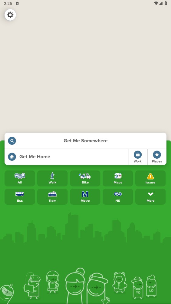
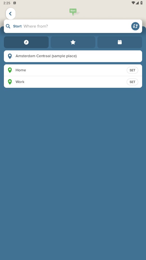
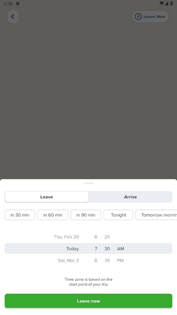
On the app's home screen, enter your starting point and destination. You can enter the address directly, or select a recent location or saved address.
Citymapper will display available transportation options such as bus, subway, walking, bike sharing and taxis. Choose your preferred mode of transportation.
If you choose public transportation,will provide you with the best routes and vehicle timetables. You can view estimated arrival times, traffic conditions, and pick-up and drop-off directions for each stop.
If you choose to walk or bike share, will provide the best route and show you approximately how long it will take to reach your destination.
Citymapper also provides real-time traffic conditions, estimated fares, available seats and other useful information.
How to change city with citymapper
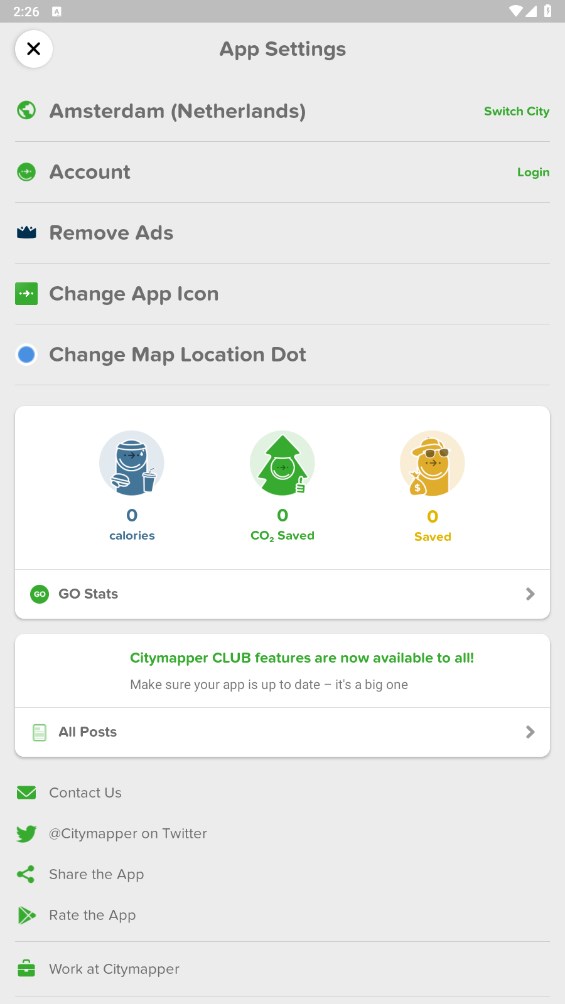
Open the settings button in the upper left corner
Click to switch cities
You can search for the city you want to choose
Similar Apps
