MOD Info
Transit is a handy app that provides real-time subway and bus times to help you plan your commute more efficiently. With Transit, you can easily access schedules, routes, and arrival times for various public transportation options in your city. The app also offers live updates on delays and service disruptions, allowing you to adjust your travel plans accordingly. With user-friendly features like trip planning, real-time tracking, and notifications, Transit helps you navigate the urban jungle with ease.
Software features
Transit is your real-time city travel companion. Open the app to instantly see the exact next departure time, track buses and trains near you on a map, and view upcoming transport schedules. Use the Trip Planner to quickly compare trips - including options by bus and bike, tube and subway, and more. Get alerts about service disruptions and delays on your favorite routes, and save frequently used locations for trip directions with a tap.
"Your app was the deciding factor in selling my car."
“Blow Google Maps out of the water.”
“The head of our local transportation agency recommended this app, not the one her agency created.”
Software Highlights
1) The best real-time data.
The app uses the best transit agency data sources such as MTA Bus Times, MTA Train Times, NJ Transit MyBus, SF MUNI Next Bus, CTA Bus Tracker, WMATA Next Arrivals, SEPTA Real-Time, and more. We combine this data with our beautiful ETA prediction engine so you get the most accurate, real-time information for all modes of transportation including bus, subway, train, streetcar, subway, ferry, ride-hailing and more. Prefer traveling on two wheels? With GPS, you can view real-time shared bike and scooter locations on a map.
2) Offline travel
Bus timetables, station locations, metro maps and even our travel planners are available offline.
3) Powerful itinerary planning
Check out quick and easy journeys combining bus, metro and train - the app even suggests routes that combine multiple options in one trip, such as bus + bike or scooter + metro. You'll discover great travel plans you never considered! Don’t like to walk a lot or use some form of transportation or transit? Personalize your trip in settings.
4) GO: Our step-by-step navigator*
Receive departure alerts to catch your bus or train, and be alerted when it's time to get off or transfer. When using GO, you can also crowdsource more accurate information and real-time ETAs for other passengers, and accumulate points for being the most helpful passenger on your route.
5) User reports
See what other riders have to say! Through contributions from millions of users, you'll get useful information on crowding levels, punctuality, nearest subway exits, and more.
6) Pay with ease
Pay for transportation and buy bike passes directly in the app in over 75 cities.
FAQ
1. What is this app?
We help you to simplify your commute by bringing together all nearby transit options in one place. You can check live transit schedules, plan trips, and get step-by-step navigation for all kinds of urban transportation, from buses, subways and trams to Uber, car2go or bike share.
2. Oh, so kinda like Google Maps?
Unlike Google Maps, we’re designed for your daily commute. Without even tapping your screen, Transit shows upcoming departure times for the routes you use every day in big text and bright colors. We also do other cool things like send you push notifications if there is a disruption on your favorite route (in select cities), and alert you when your stop is approaching. In GO, our friendly robot, Daniel, will give you step-by-step directions too!
3. How do I use Transit?
Transit helps you find your best transit options. Your location is shown as the blue dot on the map, and the feed below the map shows nearby transit lines and countdowns to the next departure, sorted by proximity. You can tap on each route for more options (route maps, schedules, and more), explore by panning the map, search for different locations, or tap on the arrow next to the search bar to let us plan your trip. Once you’ve selected your trip, you can hit GO for step-by-step navigation in real time.
4. I can only see one direction of my bus/train! When is it coming in the other direction?
You can swipe left or right on each route in the nearby transit feed to show different directions of the route. Transit will even remember your preferred direction of travel the next time you use the app at a given location.
5. How accurate are the countdowns?
The schedules and real-time data in the app comes directly from transit agencies, so our information is only as accurate as what they provide. With that in mind, countdowns accompanied by the antenna wave symbol indicate real-time arrival predictions based on transit agency data.
If you don’t see the waves, it means the arrivals are based on schedules. While we would love to provide perfect real-time information for all agencies, not all vehicles are equipped with GPS, and unfortunately we don’t quite have the budget to upgrade all the transit fleets in the world.
6. My bus didn’t come when your app said it would!
We don’t work for your transit agency so the app can only be as accurate as the information they provide. However, please do let us know if the information you see in Transit differs from what’s provided in paper schedules, on your agency website, or in another app, as this might be a bug. If there’s no discrepancy but the information is still inaccurate, we would highly suggest contacting your agency to let them know since they’re better able to correct the problem.
7. Does the vehicle icon in the route map indicate the actual location?
It depends :) If we have the GPS location data from your agency, tapping on any vehicle will indicate how recently the location was updated. If we don’t have GPS data, the app will display ‘Calculated Location’ when you tap on a vehicle. Calculated locations are approximate and not exact!
8. I have to scroll through lots of transit routes before I get to the one I use every day :(
You can make sure your important routes appear at the top of the feed by making them favourites. Just tap on any route in the feed and then tap on the star icon. From now on, your favourite lines will always show up first whenever they are nearby.
9. Can I save my frequently visited locations like home and work in the app?
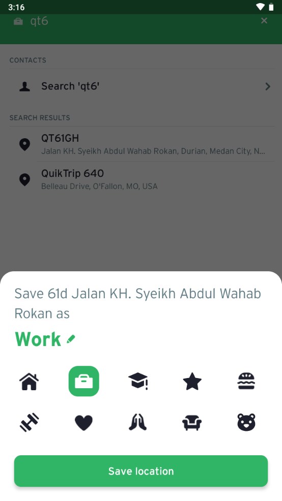
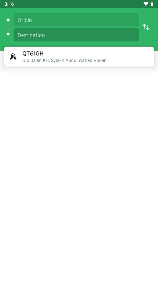
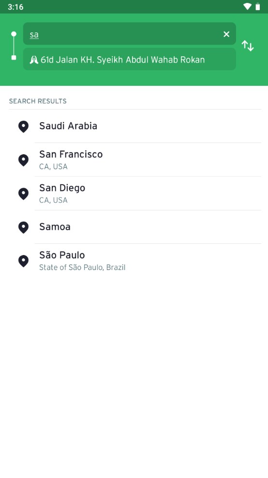
Yes! To add saved locations, first enter the address in the search bar. Tapping on the desired search result will bring up a list of options. Tap “Add to Favorites” to choose a label, select an icon, and add it to your saved locations. You can save an infinite number of places!
10. How can I get notified when there’s a disruption on my favourite route?
With service alerts, available in select cities, you will receive a push notification when the transit agency releases an alert about a significant delay, detour or other disruption to the service. To set up service alerts for lines you use regularly, tap on any card in the nearby feed and then tap the exclamation mark icon. Tap the button at the top of the screen to set up service alert notifications for that line. Note that ‘Commute Hours’ are by default 7:00-9:00am and 4:00-7:00pm. If you’re not near your transit line when you want to set the alert, you can drag the purple dot to your starting point, and then select the card.
Similar Apps
