MOD Info
OsmAnd is a powerful offline map and GPS navigation application. It provides detailed offline maps with global coverage, allowing you to view maps and navigate at any time without an internet connection. OsmAnd also provides functions such as route planning, voice navigation, real-time traffic information, etc. to help you better navigate and plan your trip. You can also personalize your map by customizing map styles, adding bookmarks and markers, and more. OsmAnd's offline functionality allows you to use maps without an internet connection, which is especially convenient for travel and outdoor adventurers.
Software features
OsmAnd is an offline world map application based on OpenStreetMap (OSM) that allows you to navigate taking into account preferred roads and vehicle dimensions. Plan routes based on slopes and record GPX tracks without an internet connection.
OsmAnd is an open source application. We do not collect user data, you decide what data the application can access.
compass and radius ruler;
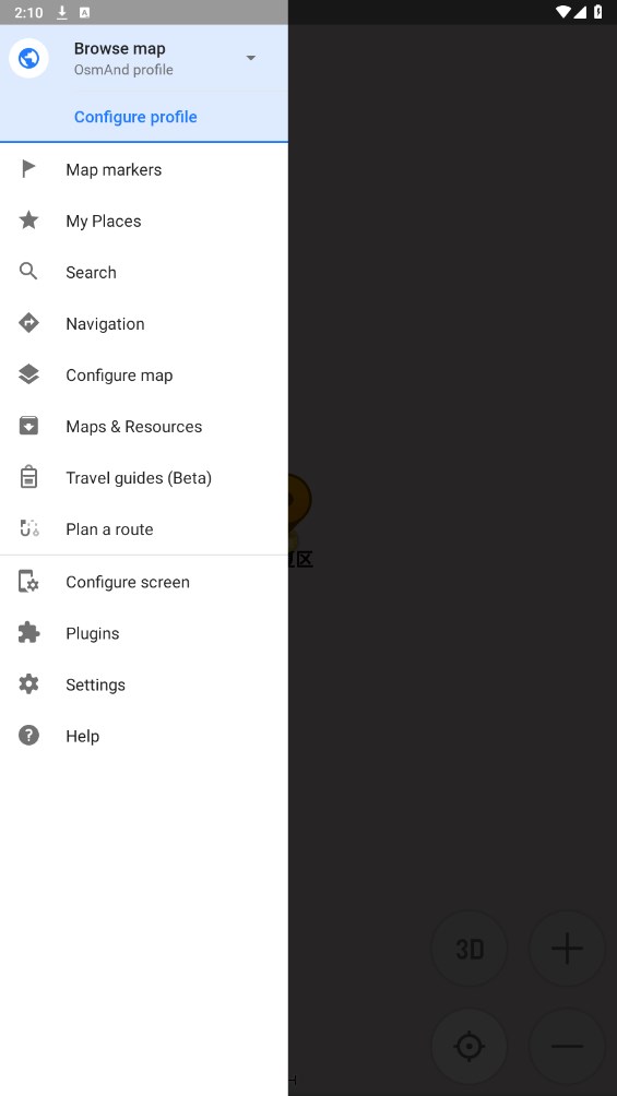
map interface;
night theme;
Wikipedia;
Large user community, documentation and support around the world;
Software Highlights
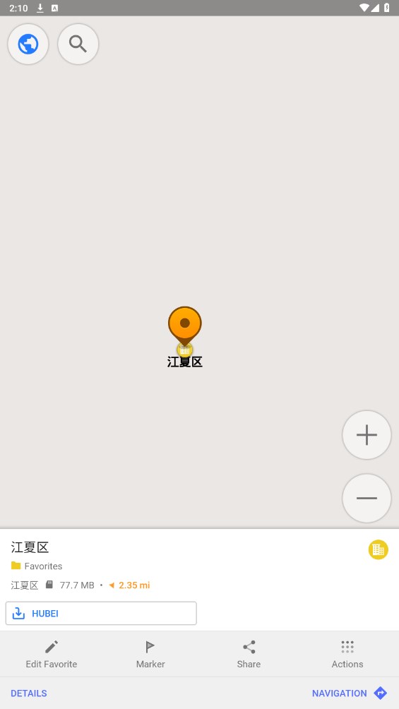
map view
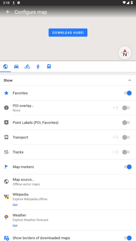
Choose the places you want to show on the map: attractions, food, health, etc.;
Search places by address, name, coordinates or category;
Map styles convenient for different activities: tourist view, nautical map, winter and ski, terrain, desert, off-road, etc.;
Shadow relief and plug-in outlines;
Ability to overlay maps from different sources on top of each other;
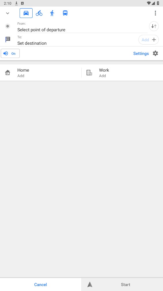
GPS navigation
Plot routes to places without internet connectivity;
Customizable navigation profiles for different vehicles: car, motorcycle, bike, 4x4, pedestrian, boat, public transport, etc.;
Alter constructed routes and consider excluding certain roads or surfaces;
Customizable information widgets about your route: distance, speed, remaining travel time, turn-by-turn distance, and more;
Route planning and recording
Draw a route point by point using one or more navigation profiles;
Use GPX tracks to record routes;
Manage GPX tracks: display and navigate your own or imported GPX tracks on the map;
Visual data about the route - descent/ascent, distance;
Ability to share GPX tracks in OpenStreetMap;
Create points with different functions
Favorites;
mark;
audio/video notes;
Open street map
Edit OSM;
The map update frequency is at most one hour;
Similar Apps


